Land Manager for
Conservation Grant Management & Impact Tracking
Land Manager helps conservation funders and grantmaking organizations track funded projects, collaborate with implementation partners, monitor conservation activities, and understand the impact of their investments across properties and landscapes.
- Fund the work
- Follow the progress
- Measure the impact
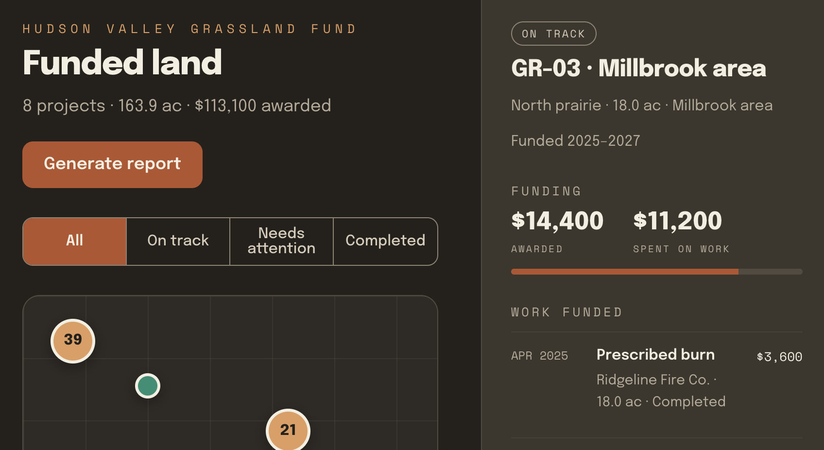
Built for your work
See where your conservation funding goes—and what it accomplishes.
Conservation funding supports important work across properties, organizations, and entire landscapes. But tracking progress and measuring results can be challenging when information is scattered across reports and spreadsheets. Land Manager brings funded projects, management activities, field observations, and conservation outcomes together in one place—giving grantmakers a clearer picture of the work their investments support.

See where funding makes an impact
View funded conservation projects on a map and understand where restoration, habitat management, and stewardship activities are taking place.

Track project progress
Follow management activities, completed treatments, and project milestones across participating organizations and properties.

Track treatments over time
Collaborate with conservation organizations, contractors, and landowners through shared project records, field observations, and management updates.

Demonstrate measurable outcomes
Bring treatment acreage, restoration activities, and monitoring data together to evaluate conservation progress and communicate results to stakeholders.
Key benefits
Know where your funding goes. See what it accomplishes.

Simplify Project Oversight
Keep funded conservation projects, property maps, management activities, and field documentation organized in one place. Spend less time collecting updates from grant recipients and more time understanding how projects are progressing.

Connect Your Grant Partners
Bring nonprofits, conservation agencies, contractors, and landowners together around shared project information. Give grant recipients a place to document their work while funders stay informed without requiring every participant to purchase a subscription.

Measure Conservation Impact
See where restoration work is happening, track acres managed, and review completed conservation activities across projects and years. Use maps, field observations, and treatment records to evaluate progress and communicate results to stakeholders.
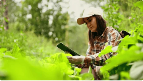
From the field
““With grants becoming more outcome based, we had to have something that shows our dollars improving nesting bird habitat and the change in landscape. We found that software!"”
How it works
Coordinate invasive species management from mapping to measurable results.
Map your properties
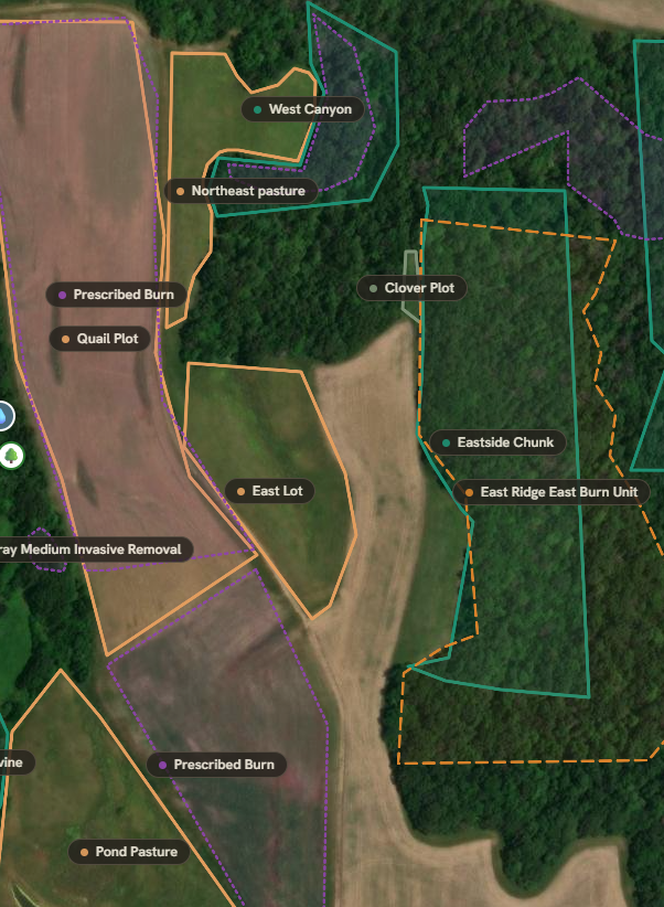
Map properties, document invasive species infestations, and organize management areas across landowners, jurisdictions, and partner organizations.
Plan your projects
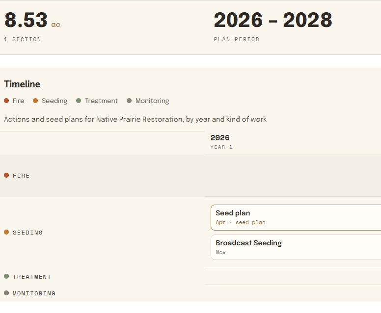
Develop shared management plans, prioritize treatment areas, and coordinate upcoming work with contractors, agencies, and conservation partners.
Document fieldwork
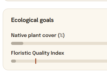
Document invasive species treatments, record field observations and photos, and track management history across properties and multiple years.
Show clients the results
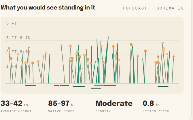
Bring treatment acreage, management records, and progress data together to communicate results with grant funders, landowners, and partner organizations.
Ready to see Land Manager in action?
Let’s talk about your conservation goals
Every Land Manager is different. We’ll show you how Land Manager can support your specific properties, workflows, and long-term vision.