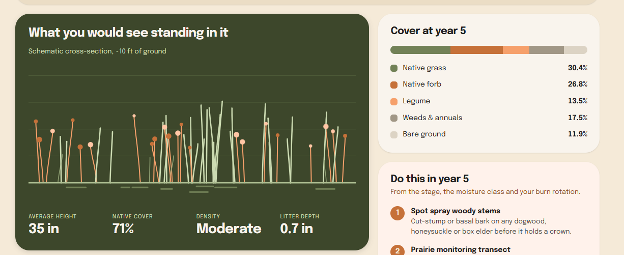
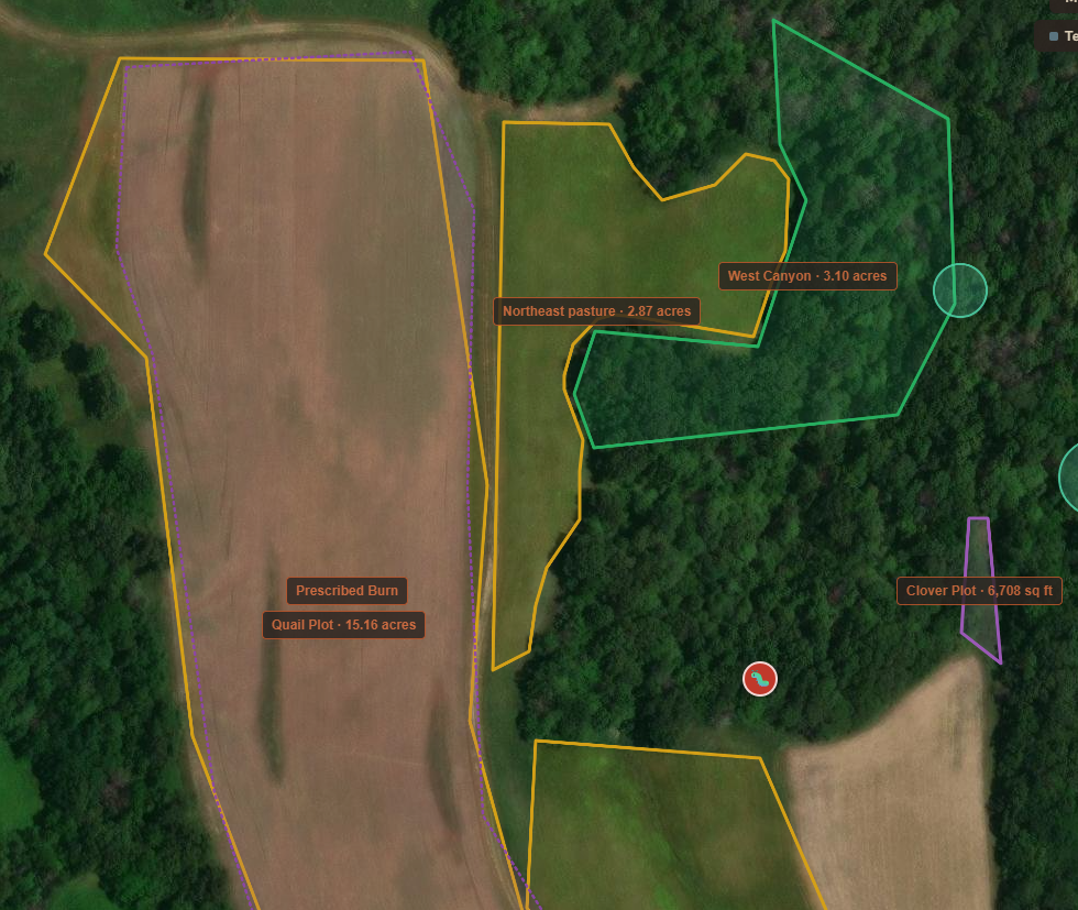
Map the property as it really is.
Build accurate boundaries and break the property into homesteads, sections, and stands. Keep a living inventory of natural resources.
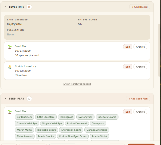
One record of everything on the ground.
Bring trail cameras, acoustic sensors, drone captures, and water-quality readings into a single timeline of conditions and wildlife.
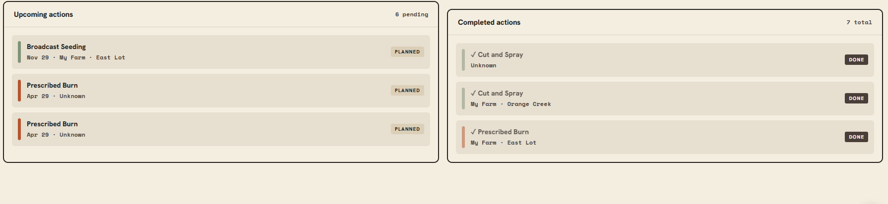
Carry out the work in the field.
Carry out management work in the field while remote tracking tools capture your activity, location, and progress directly on the map.
Show what changed, and why.
Measure habitat projects over time against a baseline, and report results plainly to owners, agencies, and partners.