Land Manager for
Local Conservation Agencies
Plan, track, and communicate the impact of your conservation work quickly. Land Manager helps local conservation boards organize their properties, manage habitats, document stewardship, and share results with staff, stakeholders, and the public.
- Manage multiple properties
- Track management activities
- Show measurable conservation outcomes
Built for your work
Designed for the unique needs of Local Conservation Agencies
Local Conservation Agencies manage diverse landscapes, from prairies and forests to recreation areas and waterways. Land Manager provides the tools to keep everything organized and moving forward.

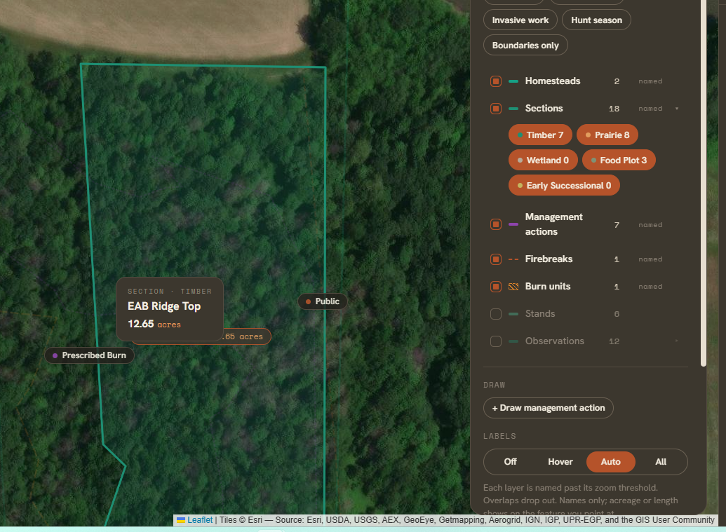
Organize all your properties
Keep maps, boundaries, and key information in one place.

Plan and track management
Create plans, log activities, and monitor progress over time.

Support staff collaboration
Keep your team and external stakeholders aligned

Communicate your impact
Generate maps and reports for boards, funders, and the public.
Key benefits
Spend less time on paperwork and more time in the field

Save time
Skip the complexity of traditional GIS software and scattered spreadsheets. Land Manager brings your conservation work together in one intuitive platform built for land, not GIS experts.

Make informed decisions
Use real data to prioritize projects and allocate resources.

Demonstrate results
Show the long-term impact of your work with clear, visual reports. Boards, community members, stakeholders all see the work being done.
From the field
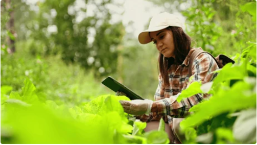
“Land Manager has made it so much easier for our team to keep track of our properties and management activities. We can quickly pull up maps and reports for our board meetings, and everyone is on the same page.”
How it works
From planning to reporting, all in one platform
Map your properties
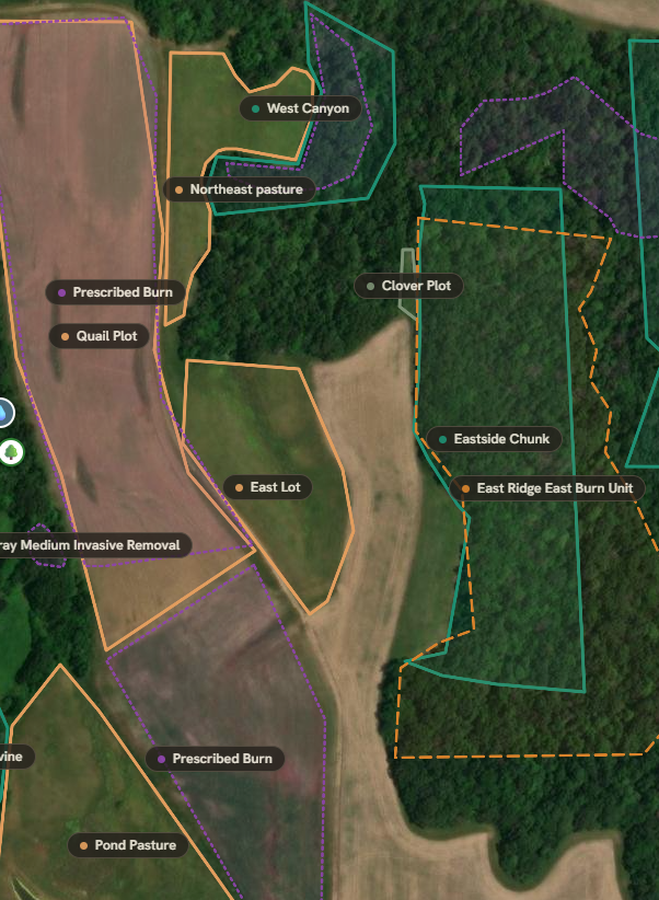
Add your properties and organize them with custom boundaries, layers, and key information.
Create management plans
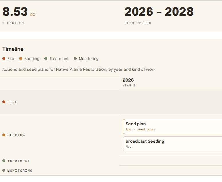
Set goals, outline actions, and schedule work across your properties.
Track progress
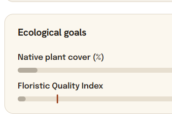
Log management activities, monitor conditions, and track outcomes over time.
Share your impact
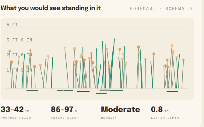
Generate maps and reports to communicate results with stakeholders and the public.
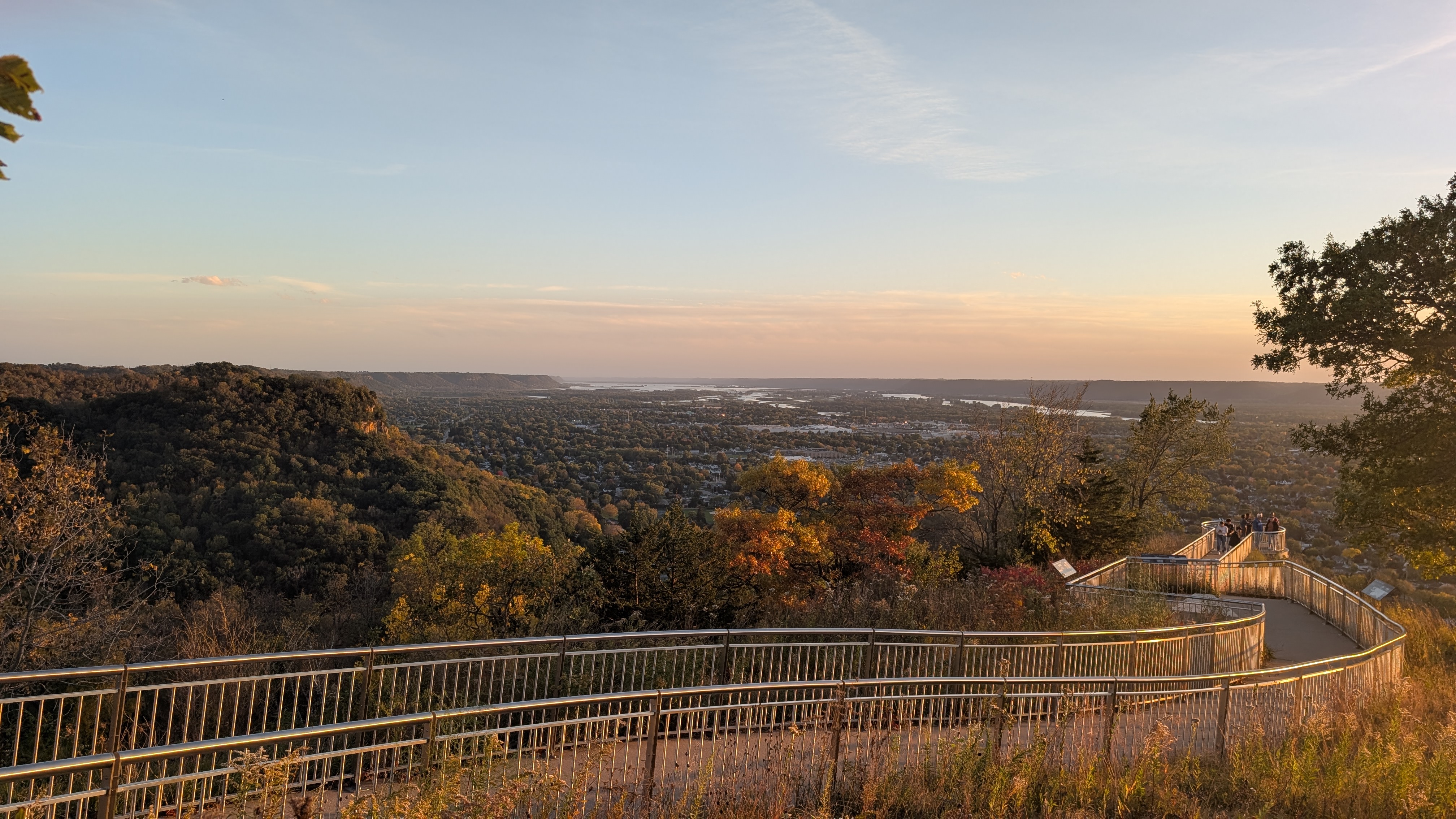
Ready to see Land Manager in action?
Let’s talk about your conservation goals
Every county is different. We’ll show you how Land Manager can support your specific properties, workflows, and long-term vision.